AO Prospect
Expedite and simplify early-stage land siting
Identify ideal parcels for renewable development and automate complex GIS analysis to find high-quality sites in just minutes.

How can AO Prospect improve your business?

Fill pipelines for increased revenue
A simple, repeatable process makes it easy to maintain a steady flow of active projects.

Expedite project timelines
Users typically increase siting efficiency by 2-4 times allowing for faster landowner outreach.

Easy to use
Anyone - not just GIS developers - can easily perform complex environmental analysis.

Reduce soft costs
Own the process from end-to-end and forego the need to hire costly GIS analysts, external land agents, or new developers.

Easily identify landowners
Quickly identify landowners with the highest quality land, so that you don't waste time working on infeasible sites.

New feature development
Expedited new feature development based on user requests ensures that you always have the tools you need.
Find high-quality sites in minutes
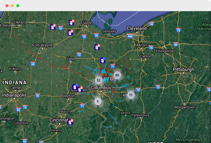
Quickly move into new markets
Traditionally, moving into a new market can take several weeks while you find all of the right data and rebuild your siting approach. We have nationwide coverage, so you can move into a new market the same day and have a consistent process for siting no matter where you are. Whether you need to turnaround an RFP next week or are moving into a new market for the long-term, we can get you up and running for whatever you need.
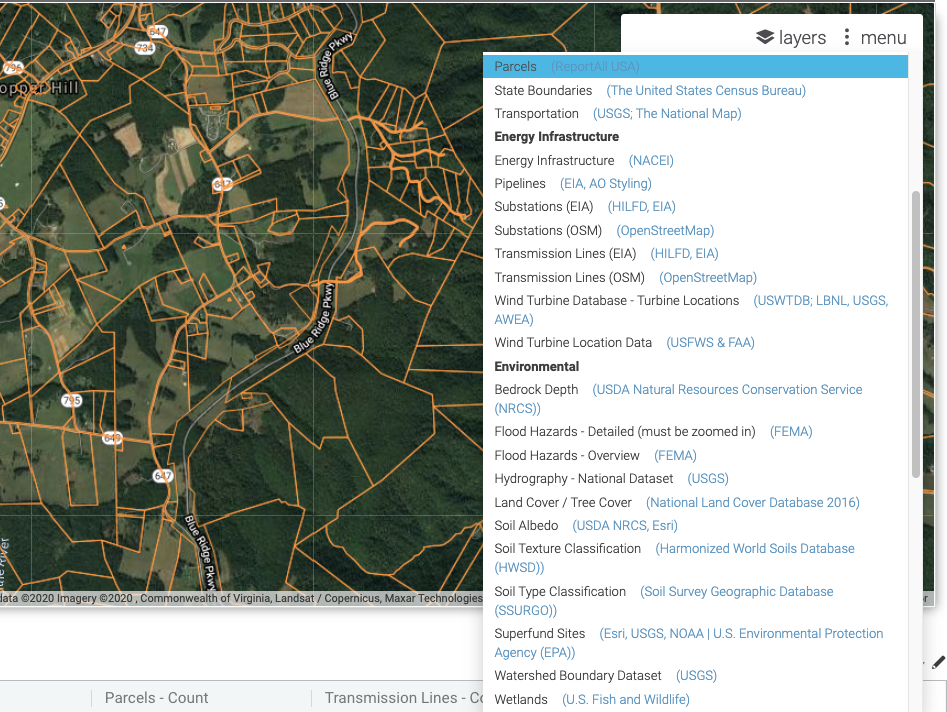
All the data you need for renewable energy siting in one place
Eliminate the need to collect and consolidate disparate GIS data sources. All key layers needed for effective renewable siting come pre-loaded and ready to use:
- Grid infrastructure
- Parcels
- GIS layers (including topo, wetlands, flood, tree cover, bedrock, etc.)
Have other internal data or layers that you want to use for siting? We can easily integrate your data or other map layers so that you have everything you need in one place.
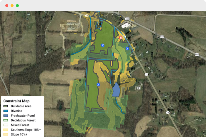
Automate time-consuming environmental GIS analysis to quickly calculate buildability
Finding potential parcels and evaluating parcel quality and buildability can be tedious and time-consuming with traditional GIS programs. AO Prospect helps users automatically create constraint maps and calculate buildable acreage in just a few clicks.
- Quickly identify potential parcels based on substation or line radius and minimum acreage.
- Calculate buildable acreage and create hazard constraint maps.
- Sort and filter parcels based on buildable area to hone in on highest value sites.
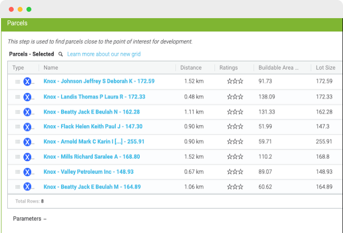
Easily view and export landowner contact information for LOIs
Once you have a shortlist of high quality parcels, you'll have all the land owner information you need to send out mailers.
Seamlessly collaborate across teams in the cloud
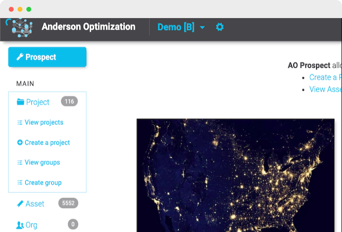
Projects automatically save in real-time so work is accessible from anywhere. Export land owner data, KML constraint maps, and PDF reports for seamless downstream design and landowner outreach activity.